Not just beaches: the Island of Elba has one dense network of paths of every type and length, which branch out along the jagged coasts, in the low Mediterranean scrub, but also in the woods along the ridges. Trekking is an excellent way to discover the Island of Elba on foot, in its most authentic, naturalistic, wild and panoramic corners.
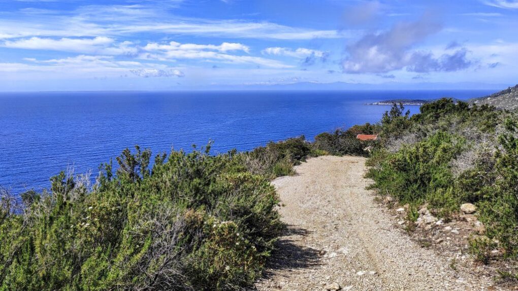
Right away a selection of my favorite routes, perfect for a spring trek, an autumn excursion or a simple walk during a wonderful summer sunset or on days when you can't or don't want to be on the beach.
1. Volterraio Fortress/Castle (Portoferraio locality)
Level: medium-easy. Travel time: 1h30. Difference in altitude: 100m. Access: from the Volterraio provincial road, at an altitude of 300. Originally an Etruscan fortress, then Roman and finally enlarged by the Pisans. It overlooks the harbor of Portoferraio and from here you can admire a wonderful sunset.
2. Porto Azzurro-Barbarossa Beach, through the Passeggiata Carmignani (Porto Azzurro area) – Path n.222
Level: medium-easy. Travel time: 1h. Height difference: 50m. Access: after Pianotta beach, at the end of the asphalted pedestrian road. Panoramic path on the gulf of Porto Azzurro which climbs the cliff and then immerses itself in a pine forest. Beautiful panorama of nature: cliffs, blue sea and the island of Giglio visible on the horizon.
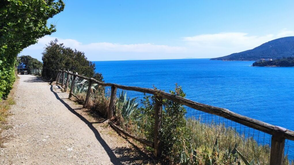
3. Punta di Fetovaia (Fetovaia locality)
Level: easy. Travel time: 40 min. Height difference: 50m. Access: from provincial road 25, after the hamlet of Fetovaia, proceeding towards Pomonte, at the first bend on the cliff on the left is the Punta di Fetovaia dirt car park. 2 paths start from here. The first, along the ridge of the promontory that reaches the Punta di Fetovaia. The other, the so-called Via Panoramica, continues towards Pomonte in an elevated position compared to the provincial road and offers a 180 degree panorama of the islands of Montecristo, Pianosa and Corsica (duration: 30 min - level: easy - difference in altitude: 20m).
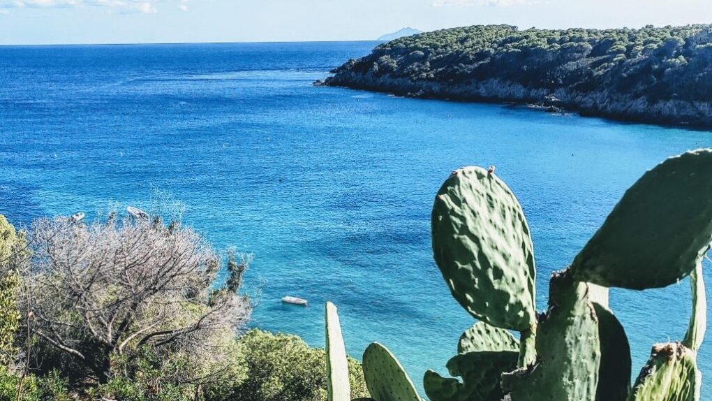
4. Monte d'Enfola (Capo d'Enfola locality) – Path n.208
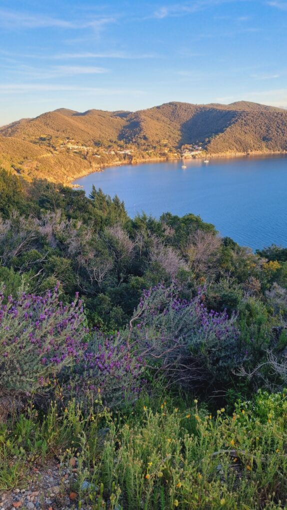
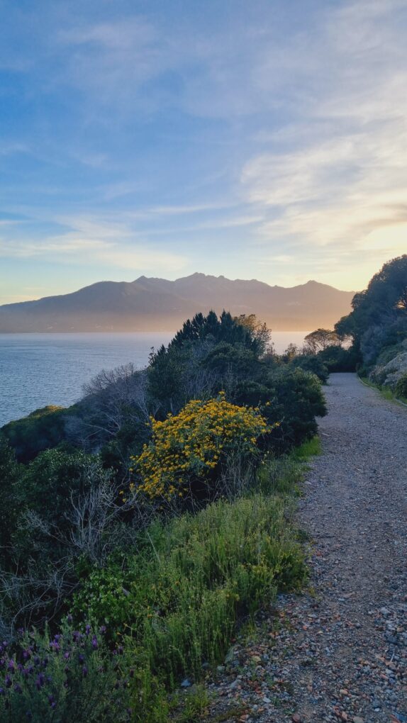
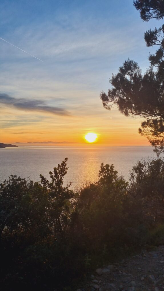
Level: medium-easy. Travel time: 2h (round trip). Difference in altitude: 270m. Access: from the connecting isthmus Capo d'Enfola with the island. The path begins on a dirt road that rises gently to altitude, through the low Mediterranean scrub dominated by rosemary, myrtle, broom, heather, strawberry tree, holm oak in a riot of colors and scents. Along the panoramic path there are splendid views of the Gulfs of Procchio and Viticcio and the Piombino Canal. There are also some remains of war structures. From the top of the promontory it is possible to admire a fantastic panorama and the sunset overlooking the sea.
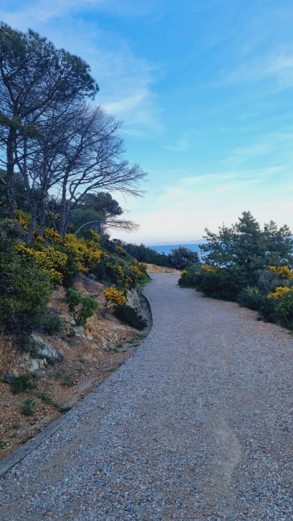
5. Marina di Campo-Fonza (Marina di Campo locality) – Path n.248
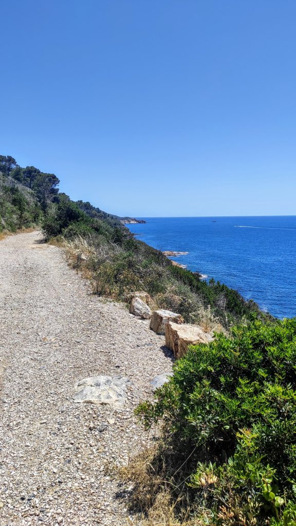
Level: easy. Travel time: 1h30. Difference in altitude: 100m. Access: from the Foce (Marina di Campo), in the camping area, go up along the asphalted Via Ischia, at the end of which the panoramic walk begins. Dirt path that leads from Marina di Campo to the Fonza beach, called The Way of Rosemary, precisely because it crosses the low scrub, dominated by rosemary. I'll let you imagine the scent!
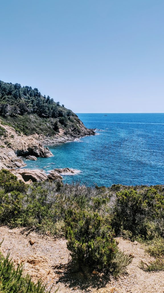
6. Cape Sant'Andrea-Moon Cliff (Sant'Andrea locality – seafront)
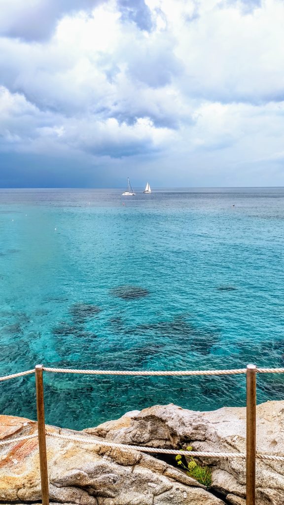
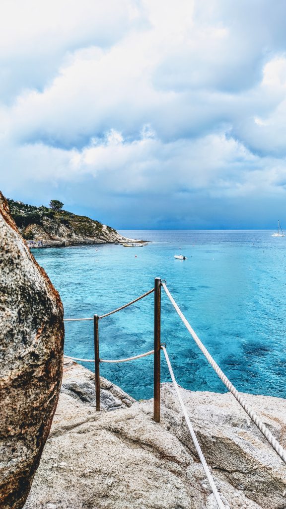
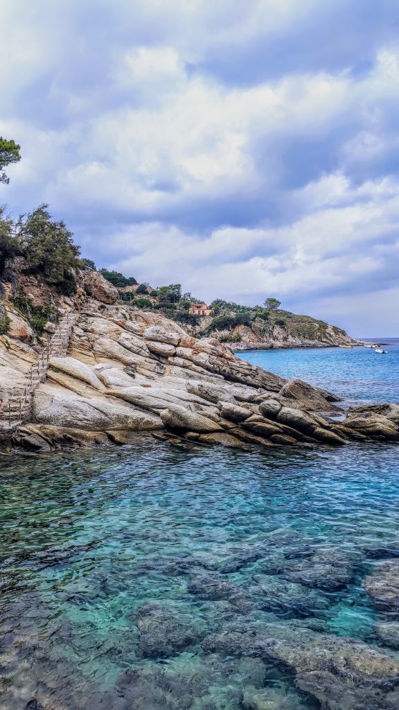
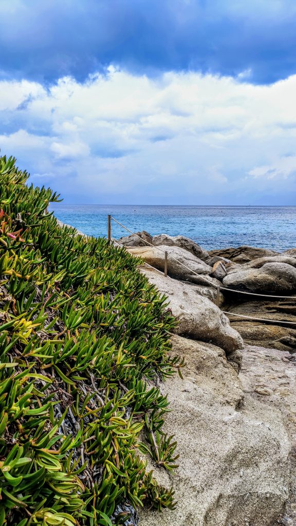
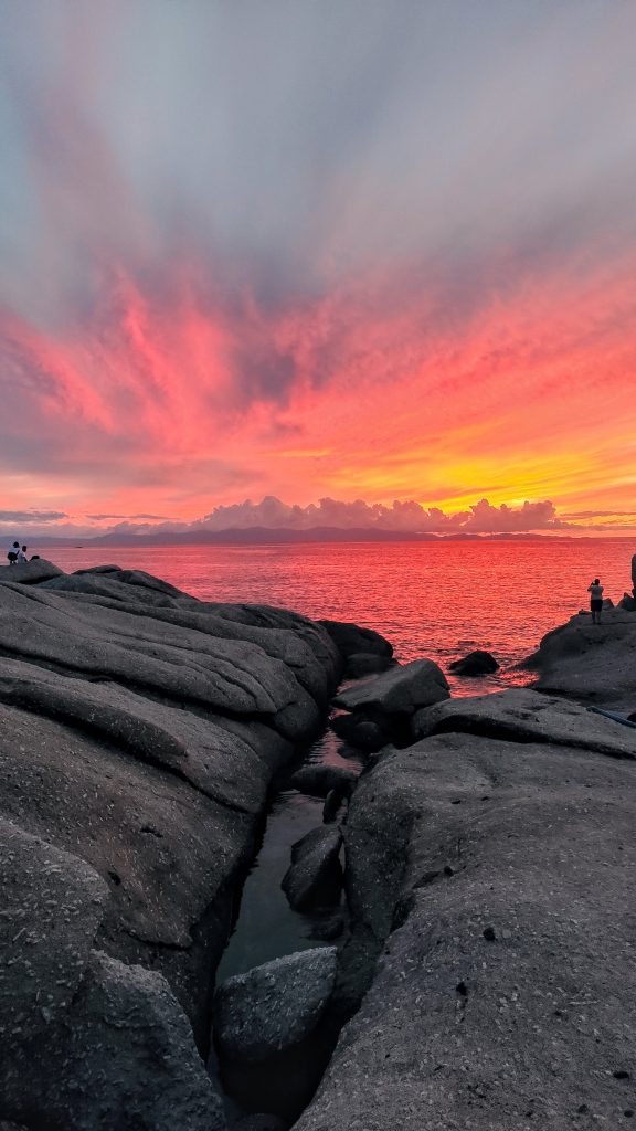
Level: easy. Travel time: 20 min. Height difference: 10m. Access: directly from Sant'Andrea beach, on the right end. Walk created among the rocks, in a very suggestive lunar landscape, which winds just above the crystal clear waters up to the Cotoncello cove. From here it is possible to admire a breathtaking sunset over the sea!
7. Pomonte-Chiessi. (place of the same name)
Level: easy. Travel time: 30 min. Height difference: 10m. Access: from the church square of Pomonte, through a paved alley you reach the road that passes through the upper part of the town. From here, walking in the direction of the valley you will come across a large granite slab, the point where the path starts. The first part is made up of the ancient road (mule track) connecting Pomonte and the town of Marciana, which winds through the low scrub, terraced crops and granite rocks. Open panorama of the sea and the outline of Corsica which stands out in the background. Point also perfect for enjoying the sunset on one of the stone benches that you will find along the path.
8. Monte Capanne (1,019 m) Location: Marciana.
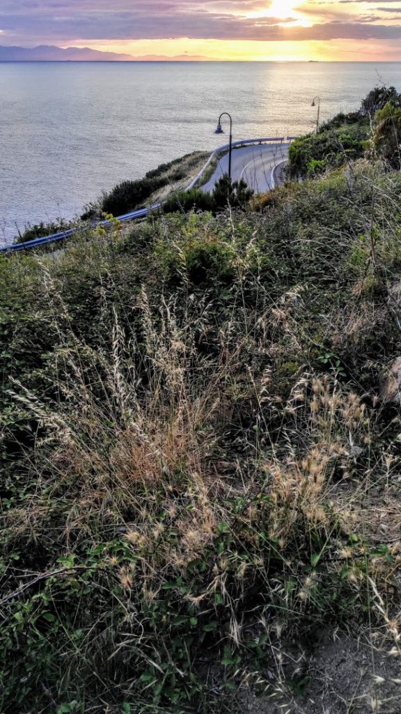
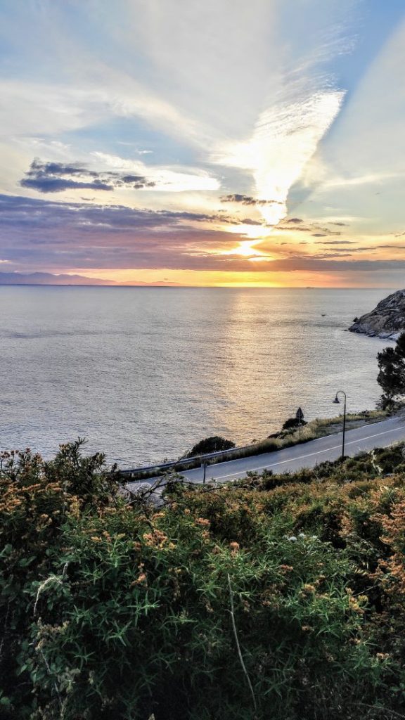
Level: medium-difficult. Travel time: 3h30 min. Difference in altitude: 645m. Access: from Marciana, at the Archaeological Museum or from the car park in front of the cable car. Challenging trail, especially very steep in the last stretch to reach the summit. However, once at the top you will certainly be rewarded by the spectacular and unique panorama that will allow you to see the entire Island of Elba from above. Tip: check the weather before deciding to leave for this excursion, making sure it is a clear day, so as to fully enjoy the magnificent panorama.
9. Biodola-Guardiola di Procchio (the so-called health journey – path no. 245). Location Biodola/Procchio.
Level: easy. Travel time: 1h. Height difference: 20m. Access: from the left end of Biodola beach near the dinghy and diving rental dock. Or from the Guardiola road in Procchio, on the right end of the beach. Very varied path that from the Biodola cliff crosses the fallery in the rock (used as a bunker during the war) to emerge above the small Lamaia beach. From here you can continue going up into the undergrowth and then down to the Spiaggetta del Porticciolo. Small, quiet and charming. Continuing the climb towards Procchio, you will reach the Guardiola from which you can admire a panorama of over 180° over the Gulf of Procchio.
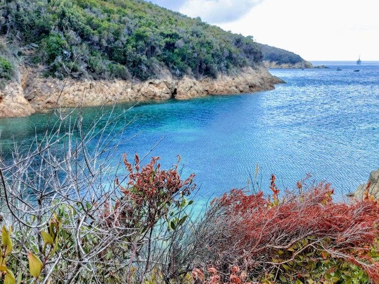
10. Colle Palombaia-Monte Poro (Colle di Palombaia or from the Marina di Campo lighthouse)
Level: medium-easy. Travel time: 2h. Height difference: 135m. Access: from provincial road 25, leave the crossroads for San Piero on your right, at the first bend towards Cavoli, you will notice a small asphalt road on the left that leads to some houses. At the end of these, the coastal path leads to Marina di Campo. Continuing on the path, it is possible to reach the top of Monte Poro, where the panoramic lighthouse is located.
Good walk!